
Choose a Vancouver Neighborhood for a Car-Free Half-Day
Compare the West End, Yaletown, Mount Pleasant and Commercial Drive, with compact walking routes, transit anchors and clear trade-offs.
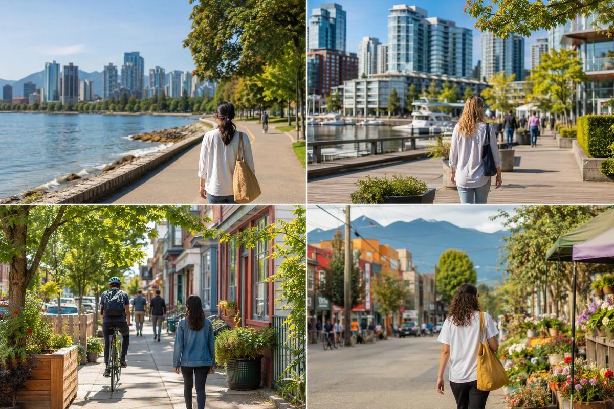
Choose the West End for beaches and residential streets, Yaletown for a waterfront walk with a convenient rail stop, Mount Pleasant for independent shops, or Commercial Drive for a food-focused outing. You do not need to visit all four to understand Vancouver.
These are neighborhood outings, not hotel rankings. If you are deciding where to sleep, start with choosing a Vancouver neighborhood as your base.
Choose by the day you want
| Neighborhood | Best reason to go | Suggested walking route | Main trade-off |
|---|---|---|---|
| West End | Combine city streets with English Bay | Denman and Robson → English Bay → Davie Street → Bute Street → Robson Street | The beach end is not beside a SkyTrain station |
| Yaletown | Pair former warehouse streets with False Creek | Yaletown–Roundhouse Station → Hamilton and Mainland streets → David Lam Park → station | The waterfront portion is outdoors; shorten it in poor weather |
| Mount Pleasant | Browse shops and public art around Main Street | Main and Broadway → Main and 16th → back north, with a Guelph Park detour | The rail station named Main Street is not at Main and Broadway |
| Commercial Drive | Build a walk around coffee and a meal | Commercial–Broadway Station → north along Commercial to 1st Avenue → return | An inland outing, not a seawall day |
Allow two to three hours for one route, including a meal or several browsing stops, plus travel to and from the neighborhood. These are suggested planning windows, not measured tour times. You can shorten any route by turning back earlier. Use the City’s street and cycling map to check the layout before setting off.
West End: city streets with a beach stop
The West End works well when your group wants different things without separating: a café, a walk through residential streets, and time beside the water. Destination Vancouver describes its tree-lined streets, mix of highrises and heritage homes, and proximity to English Bay and Stanley Park. Davie Village is also a hub of Vancouver’s LGBTQ+ community. West End neighborhood guide
Start around Denman and Robson, walk south along Denman to English Bay, then turn inland along Davie. Continue toward Bute and return via Robson if you want a loop. Choose your meal on Denman or Davie rather than treating every commercial street as a separate destination.
Keep Stanley Park as a separate decision. Reaching its entrance does not mean you have time for a full seawall circuit. If the waterfront is the priority, replace part of the street loop with a beach stop or use the seawall route-choice guide.
For transit, check the route from your actual starting address; the beach end of this outing is not beside a SkyTrain station.
Yaletown: the simplest rail-to-water pairing
Yaletown combines a former warehouse and railyard district with easy access to False Creek. Its useful visitor contrast is compact: brick commercial streets first, waterfront paths second. Yaletown neighborhood guide
Arrive at Yaletown–Roundhouse Station, on the Canada Line at Davie and Mainland. Browse Hamilton and Mainland streets, then head toward David Lam Park. The park has an open lawn, playgrounds, sports courts and waterfront sculptures, making it a useful pause rather than another attraction to book. Station details · David Lam Park
Return to the station after your waterfront stop. This is the strongest choice here if you want a clearly anchored outing without committing to a long seawall walk.
Mount Pleasant: Main Street browsing, not a station-side visit
Choose Mount Pleasant when shops and street-level culture matter more than water views. Its Main Street corridor includes independent boutiques, vintage and thrift shops, eateries and public art. Mount Pleasant neighborhood guide
Start at Main and Broadway, browse south toward 16th Avenue, then retrace only the blocks that interested you. Add a short detour to Guelph Park at Brunswick and East 7th for a seated break. The “Dude Chilling Park” sign is an accepted public artwork in Guelph Park, not its official park name. Park location and facilities · Sign’s history
The key transit distinction: Main Street–Science World Station is at Main and Terminal, at the foot of False Creek—not at Broadway. Route 3 serves Main Street and Broadway; use it or plan the additional walk explicitly. SkyTrain station locations · Route 3 timetable, effective September 7, 2026
Commercial Drive: coffee, food and one continuous street
Commercial Drive is the food-first option. Its officially designated Little Italy sits within a broader multicultural restaurant and café corridor. Commercial Drive neighborhood guide
Arrive at Commercial–Broadway Station, served by the Expo and Millennium lines, then walk north along Commercial toward 1st Avenue. Pick one café and one meal stop, allowing the intervening blocks to be the outing. Return along the same street so you can revisit places you passed. TransLink station and line details
Do not add Trout Lake automatically: it sits in a different direction from this northbound walk. Choose a park-focused outing instead if green space is your main goal.
Make the return trip easy
Before leaving, check your endpoint and departure time in TransLink’s transit maps and planning resources. If you are using single fares for these relaxed half-days, budget for another fare home: as of October 2026, the transfer window is 90 minutes, not an all-afternoon pass. Tap in and out on SkyTrain; on buses, tap only when boarding. Use the same payment card or device throughout a transfer—your physical bank card and its mobile-wallet version count as different payment methods. TransLink fare and payment rules