
Downtown Vancouver: Where to Stay and How to Get Around
Compare central downtown, Coal Harbour, the West End and Yaletown, then plan airport arrival and manageable waterfront outings without a car.
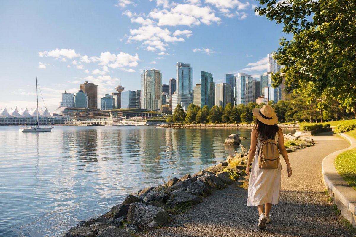
For a first Vancouver visit without a car, start your hotel search near Vancouver City Centre or Waterfront station. Choose the West End instead if beaches and Stanley Park matter more than being close to the airport train; choose Yaletown for False Creek walks and a Canada Line connection.
The useful distinction is not simply “downtown or outside downtown.” It is which side of downtown you want to return to each evening—and how far your accommodation is from the transport you will actually use.
Get your bearings: the centre and its waterfront edges
Downtown Vancouver is in British Columbia, Canada. The City describes its central business district as bounded by Burrard Inlet to the north and False Creek and Yaletown to the south, with the West End and Stanley Park to the west and historic districts including Gastown to the east. For visitor planning, consider the centre and these neighbouring areas together, rather than treating “downtown” as one uniform hotel location. City of Vancouver neighbourhood overview
Keep three reference points in mind:
- Canada Place and Waterfront station: the northern harbour side.
- Georgia, Granville and Robson streets: the central shopping and transit area.
- Yaletown and False Creek: the southern waterfront side.
A downtown address does not automatically mean a short station walk. Check the actual entrance-to-hotel route before booking, especially with luggage or limited walking tolerance.
Which downtown base fits your trip?
These are location recommendations, not hotel-quality or price rankings.
| Base | Choose it for | Main trade-off |
|---|---|---|
| Central downtown, around Georgia and Granville or eastern Robson | A mixed sightseeing trip with convenient rail access and shopping. Robson Street’s retail corridor gives you a useful central reference. | You are choosing connectivity rather than immediate beach or park access. Robson extends west, so check the address rather than the street name alone. |
| Canada Place and Coal Harbour | Harbour views and waterfront walks toward Stanley Park. Coal Harbour’s seawall connects to the park. | Canada Place and western Coal Harbour are not interchangeable for station access: compare each hotel’s walk to Waterfront. |
| West End, around Denman or English Bay | Repeated beach visits, park time and a residential setting. The area connects the city with English Bay and Stanley Park. | Expect a longer walk or a bus connection to rail, depending on your address. Do not assume the airport train reaches your hotel neighbourhood. |
| Yaletown | False Creek walks, dining and access to Yaletown–Roundhouse station. The former warehouse district has waterfront access and David Lam Park. | It puts your base on the southern side, rather than beside Canada Place or Stanley Park. |
If two hotels look equally suitable, compare station walking distance, room requirements and total booking cost before paying extra for a waterfront address. A view is worth considering, but it does not replace a convenient return journey.
Cruise passengers have a different priority: use the pre-cruise neighbourhood comparison to weigh terminal access against the rest of the stay.
Arrive and move around without a rental car
The Canada Line connects Vancouver International Airport (YVR) with downtown in under 30 minutes, according to the airport. That is train travel, not your complete arrivals-to-hotel time: allow separately for baggage, waiting and the final walk. YVR public transportation
Choose your downtown stop by hotel location:
- Yaletown–Roundhouse: Davie Street at Mainland Street, for Yaletown and downtown south.
- Vancouver City Centre: Granville Street at West Georgia Street, for the central shopping area. Nearby Granville station is on the Expo Line, not the airport’s Canada Line.
- Waterfront: the northern end of downtown, with connections to the Expo Line and SeaBus.
These locations and connections are listed in TransLink’s SkyTrain station guide. For a West End hotel, compare the onward bus journey with the luggage walk rather than automatically staying on the train to Waterfront.
For occasional transit trips, adults can tap an accepted contactless bank card or mobile wallet. Use one payment device per person and the same device throughout the journey; a physical card and its mobile-wallet version count as different devices. Tap in and out on SkyTrain and SeaBus, but only when boarding a bus. A single fare has a 90-minute transfer window, and all bus trips are one-zone fares. Contactless payments charge the adult cash fare; Compass Card stored value offers discounted fares. TransLink fare and payment rules
For fare-product comparisons, the airport departure surcharge and journeys beyond downtown, see the Vancouver public transit guide.
Plan one downtown cluster at a time
A manageable outing needs one main area, somewhere to pause and a return plan—not every waterfront on the peninsula.
Northern waterfront: Start at Canada Place’s white sails and west promenade, where the Voyage Canada story panels sit beside the Canadian Trail. Then choose either a westward Coal Harbour walk or an eastward Gastown visit. Canada Place exhibits and experiences
Historic streets: Make Gastown a separate short outing for brick buildings, shops and the Steam Clock, rather than an obligatory extension to a long park day. Destination Vancouver’s Gastown guide
Central streets, with an indoor option: Combine Robson shopping with a visit to the Vancouver Art Gallery at 750 Hornby Street. Check exhibitions and admission before committing to the gallery as your main stop. Gallery visitor information
Beach or southern waterfront: Choose English Bay and the West End, or Yaletown and David Lam Park. The English Bay car-free guide helps with the beach option; the seawall route guide helps you choose a section and return journey.
Do not casually add a full Stanley Park seawall circuit. The City puts that portion at 9 km and two to three hours of walking, before extra stops or the journey from your hotel. City seawall guide
October–November 2026 planning note: As of October 14, the City lists a full seawall closure between Lumberman’s Arch and Third Beach from October 19 until November 7, with intermittent closures possible until November 20. During the closure, pedestrians and cyclists are directed to follow detour signs through Beaver Lake. Check the current closure and detour notice before planning a continuous park circuit.