
Best Indy Neighborhoods? Indianapolis, Not Vancouver
Looking for Indy neighborhoods? Start with Indianapolis’s official guide. If you meant Vancouver, compare Waterfront, the West End and Yaletown.
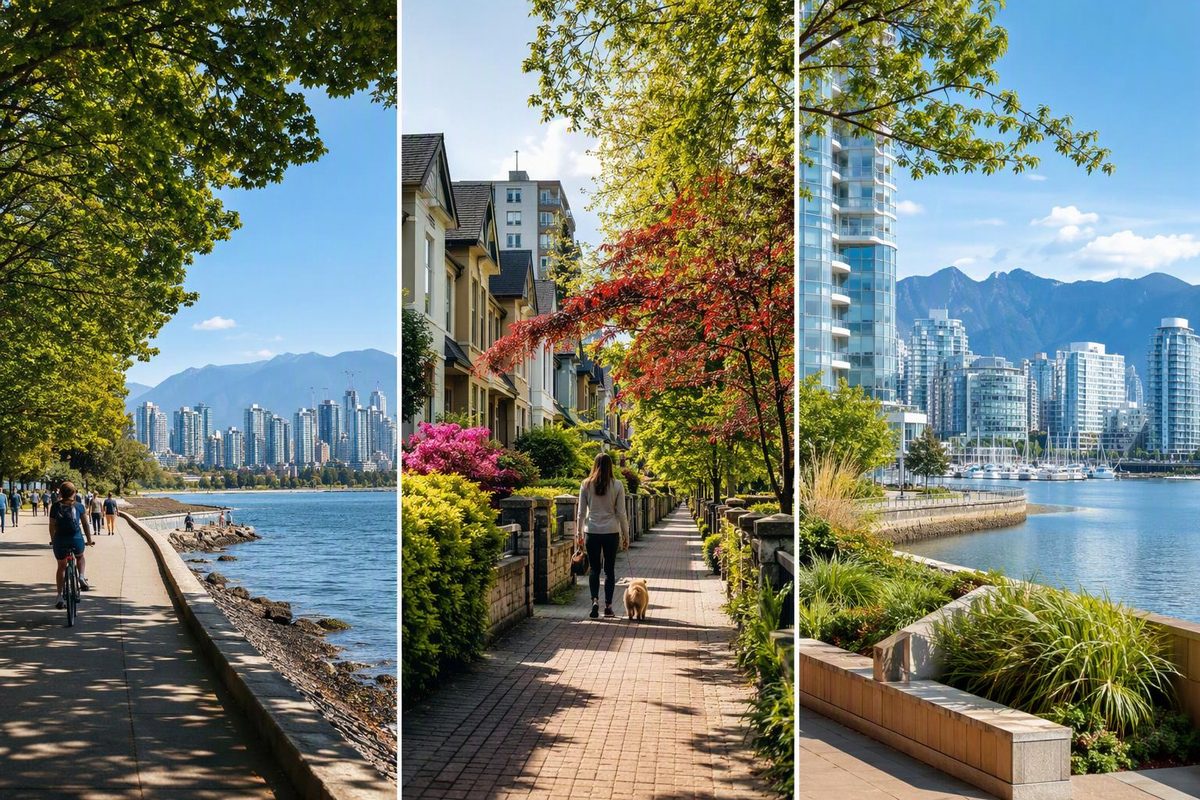
In a neighborhood search, “Indy” usually means Indianapolis, Indiana—not Vancouver, British Columbia. If that is your destination, Visit Indy’s official neighborhood guide is the relevant starting point. It covers places such as Mass Ave, Broad Ripple and Fountain Fletcher, with descriptions of their dining, arts and transport connections.
If you meant the best Vancouver neighborhood for a visit, choose by the journeys you expect to make. For a first car-free stay, start with accommodation near Waterfront Station; favour the West End for beach-and-park days or Yaletown for False Creek walks and airport access.
Near Waterfront Station: a transit-first base
This is a specific downtown location rather than a separate neighborhood. Use the station—not just “downtown” in a hotel description—as your map reference.
Waterfront connects the Canada Line, Expo Line and SeaBus. The Canada Line links downtown with Vancouver International Airport, so staying within a comfortable walk of the station reduces the number of connections you need on arrival. TransLink’s line and station guide confirms these connections and places Waterfront on Cordova Street between Granville and Seymour.
Choose it if: your itinerary mixes Vancouver sightseeing with trips across the region, or you value a straightforward airport journey more than having a beach nearby.
Trade-off: a transit hub is not the same thing as a beach base. Treat English Bay and Stanley Park as planned outings rather than assuming every downtown address is beside them.
West End: for beach-and-park priorities
The West End borders Stanley Park and English Bay, making it the stronger choice when waterfront time is the main reason for your trip. Denman Street offers a useful dining corridor, while Davie Street is central to the neighborhood’s LGBTQ+ community. Destination Vancouver’s West End overview describes both.
For a concrete map reference, English Bay Beach lies along Beach Avenue between Gilford and Bidwell streets, with the seawall running beside it.
Choose it if: you want beach stops and park walks to anchor your days.
Trade-off: check the airport-to-accommodation journey for the exact address rather than assuming the same rail convenience as Waterfront or Yaletown.
Yaletown: False Creek walks plus airport rail
Yaletown combines restaurants and patios with seawall access and David Lam Park. Destination Vancouver’s neighborhood guide highlights those visitor features. Yaletown–Roundhouse is also on the Canada Line’s airport route, giving it a useful balance of waterfront leisure and rail access. See TransLink’s station list.
Choose it if: you want to pair dinner nearby with a False Creek walk, without giving up a direct airport train.
Trade-off: prioritize this side of downtown if False Creek matters more to your plans than English Bay and Stanley Park.
Before booking, map the actual entrance of your accommodation to your arrival station and your main outing. Then build a manageable waterfront route with our Vancouver seawall planning guide.