
Use the New Crosscut Bridge for a North Shore Neighbourhood Walk
Plan a Crosscut Bridge walk between Loutet Park and Cedar Village, with car-free approaches and clear notes on current and future greenway links.
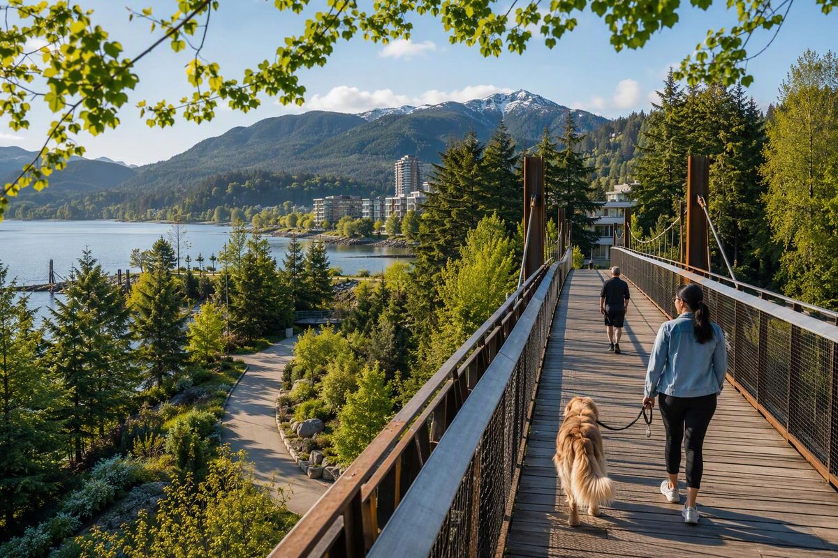
Crosscut Bridge is now open over Highway 1, giving people walking, rolling and cycling a direct connection between Loutet Park and Casano Drive at Rufus Avenue. It is useful infrastructure rather than a standalone sightseeing attraction, so the best visitor plan is to use it as the turning point or missing link in a wider North Vancouver neighbourhood walk.
The bridge opened on August 20, 2026. Its 4.5-metre-wide concrete surface has lighting, safety fencing, handrails, seating, wayfinding and a water fountain. Gradual approaches were designed for accessibility, although that does not guarantee every connecting street or trail will suit every mobility device. Landscaping was still scheduled for fall after the opening, so the edges may look newly built for a while. These details come from the City of North Vancouver’s opening notice.
Choose the right version of the walk
| Plan | Start and finish | Best for |
|---|---|---|
| Bridge sampler | East 17th Street and Grand Boulevard; return the same way | Seeing the new crossing with simple navigation |
| Green Necklace extension | Keith Road and Grand Boulevard to Crosscut Bridge; retrace or arrange transit from the north side | A longer urban-greenway walk |
| One-way Lynn Valley connection | Lynn Valley Town Centre to the bridge, then Loutet Park and Grand Boulevard | Visitors already combining the walk with Lynn Valley |
The simplest route: Grand Boulevard out and back
- Start near East 17th Street and Grand Boulevard.
- Follow East 17th Street east toward Loutet Park.
- Take the multi-use path through Loutet Park toward Crosscut Bridge.
- Cross Highway 1 and arrive at Casano Drive and Rufus Avenue in Cedar Village.
- Return across the bridge and retrace the Loutet Park approach.
This is the least complicated choice because it avoids improvising a loop through residential streets north of the highway. It also lets you inspect the return route before committing to a one-way plan.
The City’s Eastside Connector project includes a multi-use path between East 17th Street and Crosscut Bridge through Loutet Park. The wider project covers East 17th Street and West Grand Boulevard, with intersection, lighting and cycling upgrades. The Eastside Connector project page still describes completion as anticipated by September 2026 rather than confirming that every element is finished. As of September 30, follow on-site signs and check the project page before assuming the entire connector is in its final condition.
Add part of the Green Necklace
For a more substantial walk, begin at Keith Road and Grand Boulevard and follow the Green Necklace north through the landscaped centre of Grand Boulevard. Leave the greenway at East 17th Street, turn east and continue through Loutet Park to Crosscut Bridge.
The full Green Necklace is a 7.5-kilometre urban loop, but there is no need to complete it before adding the bridge. The City describes it as an off-street, multi-use route with benches, lighting, fountains and wayfinding, and provides a route description and official map. Using only its Grand Boulevard section keeps this outing manageable.
Follow posted path markings around Grand Boulevard. The City says paths within the park are dedicated to pedestrians, while cyclists use the separated route on West Grand Boulevard. The Eastside Connector is intended to improve that separation rather than turn every path into a shared trail.
Start from Lynn Valley only if it improves your day
Crosscut Bridge makes a one-way walk between Lynn Valley and central North Vancouver more direct. From Lynn Valley Town Centre, use current directions to reach the bridge’s north end at Casano Drive and Rufus Avenue. Cross into Loutet Park, then continue along East 17th Street to Grand Boulevard.
This direction works well if Lynn Valley is already on the itinerary. It is not a reason to add a separate transfer merely to cross the bridge. If your main objective is forest scenery, devote the outing to Lynn Canyon Park instead; Crosscut is an urban connection with highway views and neighbourhood approaches.
Getting there without a car
From downtown Vancouver, take the SeaBus from Waterfront Station to Lonsdale Quay, then use TransLink’s journey planner for one of these precise targets:
- East 17th Street and Grand Boulevard for the easiest southern approach
- Casano Drive and Rufus Avenue for the north end
- Lynn Valley Town Centre for the longer one-way version
Do not rely on a saved bus number alone. TransLink says service changes are made in April, June, September and December, and its schedules and maps page provides current departures and alerts. For help building the downtown-to-North Shore portion, use the Lonsdale Quay SeaBus plan or the broader car-free Vancouver guide.
What is open now—and what remains a network plan
The distinction matters when reading maps and project descriptions:
- Open now: Crosscut Bridge and its approaches between Loutet Park and Casano Drive at Rufus Avenue. The City’s opening notice says the bridge links with current and future routes including the Green Necklace, Salop Trail, Upper Levels Greenway and Eastside Connector.
- Established route: the Green Necklace is already a complete 7.5-kilometre loop, but Crosscut is reached by extending east from it rather than by remaining on that loop.
- Still being developed: the Upper Levels Greenway. The City describes this as an approximately three-kilometre route north of Highway 1, from Lynn Valley Road to Westview Drive, on its Upper Levels Greenway page.
- Later network work: the Mid-Town Connector appears as a Phase Three project in the City’s Mobility Network plan.
- Check current status: the Eastside Connector has usable streets and park connections along its alignment, but its full package of upgrades should not be described as complete until the City confirms it.
For this walk, navigate the connection that exists: Grand Boulevard, East 17th Street, Loutet Park and Crosscut Bridge. Treat the larger web of named connectors as network context, not as a promise that every line shown in a planning map is already a finished path.